Research group
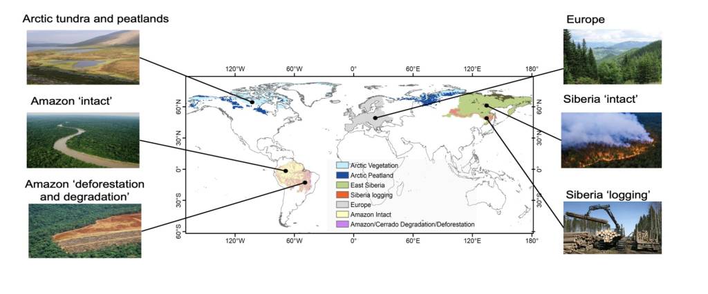
BGEOSYS is a multidisciplinary group with a strong expertise in the statistical and process-based modelling of carbon and nutrient dynamics across a wide range of environments (e.g., terrestrial vegetation and soils, rivers, lakes and reservoirs, estuaries, ocean, sediments). An overarching goal of the group’s research is to understand and quantify how carbon and nutrient fluxes in these systems are impacted by natural and human disturbances and contribute to anthropogenic GHG (CO2, N2O, and CH4) budgets at the local to global scales. The group has a strong expertise in biogeochemical modelling, but also relies on field observations and process level studies and covers a large spectrum of temporal and spatial scales. BGEOSYS has a long-standing tradition of in-house model development and application, including Earth System Models, but also employs model-data fusion approaches and advanced statistical methods. The group makes extensive use of Earth observations to inform and enhance these models. Their innovative and fully integrated research approach helps to uncover regional and global spatio-temporal patterns of carbon, nutrients, and associated GHG fluxes and predict their responses to both short-term extreme events and long-term warming and environmental trajectories. BGEOSYS has a longstanding track record of participation in EU Framework projects, including NUNATARYUK, VERIFY, and ESM2025. Of particular relevance is its current involvement in the large-scale international project CLIMATE-SPACE RECCAP2: Global Land Carbon Budget and its Attribution to regional drivers funded by the European Space Agency (ESA, 2024-2027)
Pierre Regnier , Sandra Arndt , Steeve Bonneville , Goulven Laruelle

Keywords:
Climate , Greenhouse gases , Terrestrial ecosystems , The Blue Planet, Satellites
Contact:
Pierre Regnier (pierre.regnier@ulb.be)


